Lewis & Clark: Corps of Discovery
Loading story...
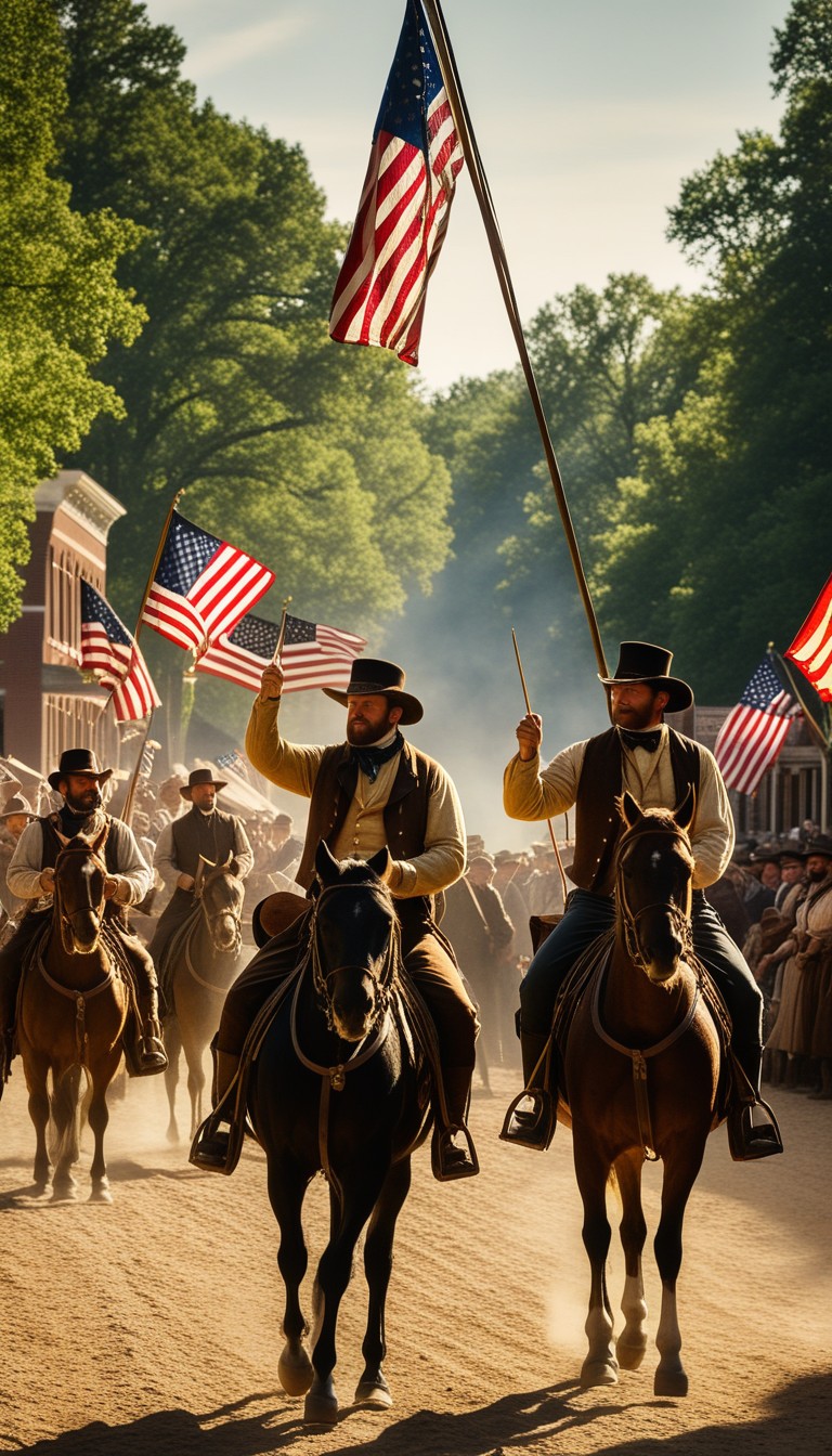
1803
Washington, D.C.
Jefferson's Vision
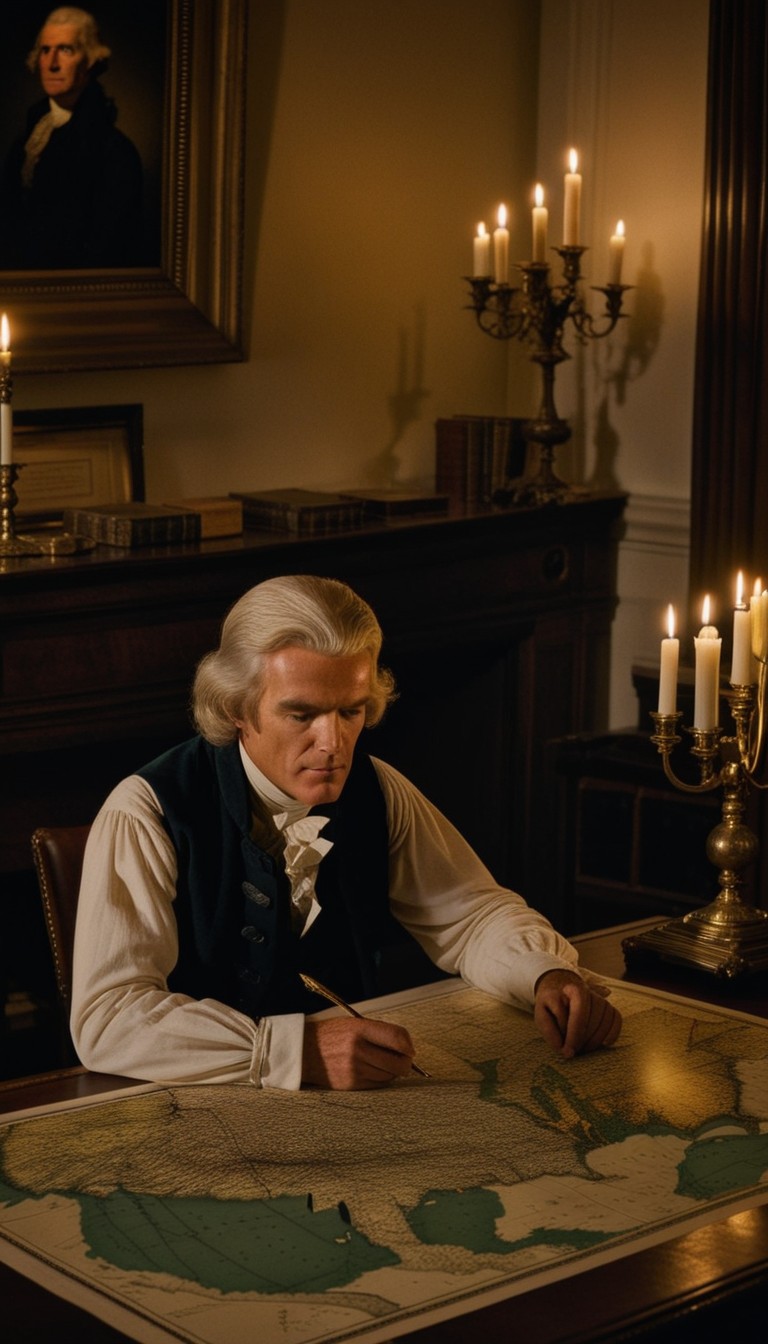
When Napoleon Bonaparte sold the Louisiana Territory to the United States in 1803, President Thomas Jefferson saw more than a real estate deal—he saw the key to a continental empire. The purchase doubled the size of the young nation overnight, but the vast interior remained a mystery to American eyes. Jefferson had quietly secured $2,500 from Congress months earlier to fund a secret expedition across the continent, and now that mission became urgent. He tapped his trusted personal secretary, Captain Meriwether Lewis, to lead the most ambitious exploration in American history.
1803–1804
Camp Dubois, Illinois
Assembling the Corps
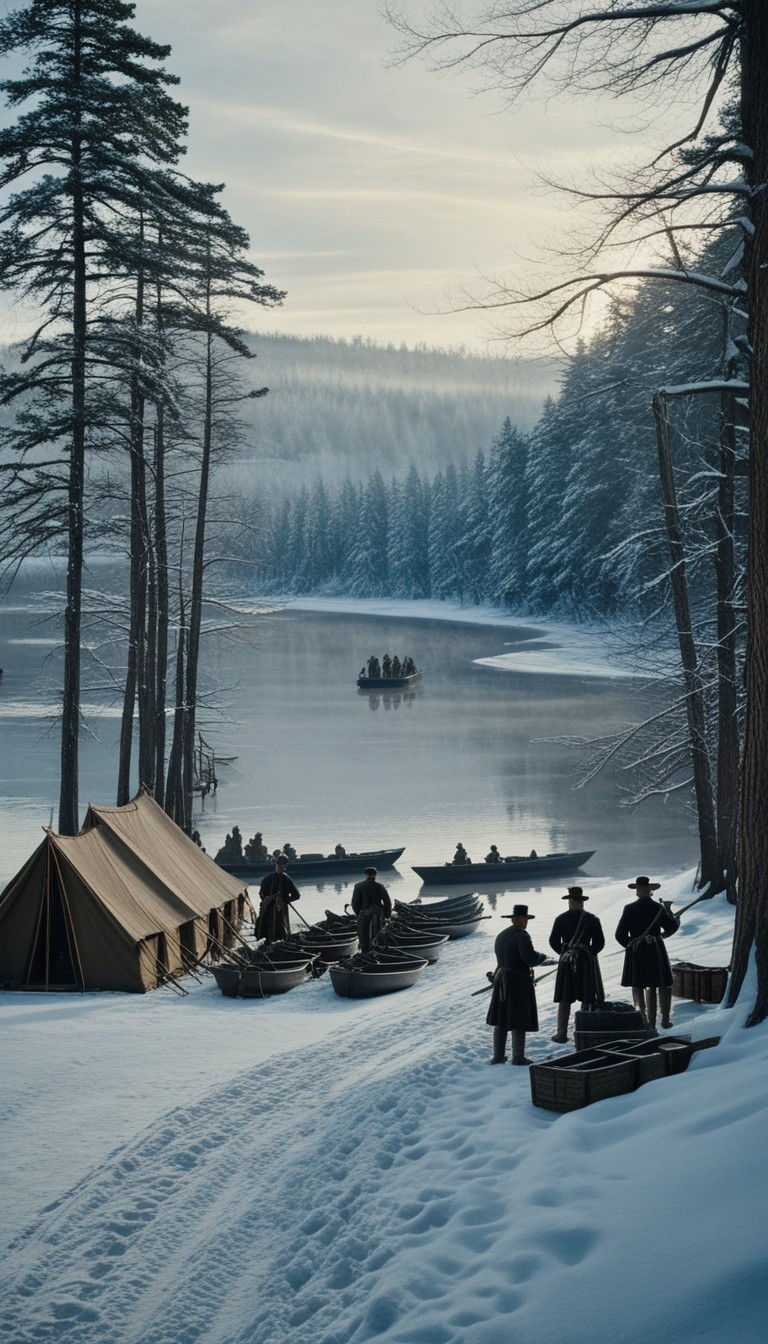
Lewis chose his old Army friend William Clark as his co-commander—an equal partnership that would prove critical to the expedition's survival. Through the winter of 1803–1804, the two captains assembled their Corps of Discovery at Camp Dubois, a rough collection of huts on the Illinois side of the Mississippi River. They recruited skilled frontiersmen, soldiers, hunters, and Clark's enslaved manservant York, selecting only those with the stamina and temperament to endure unknown hardships. By spring they had roughly forty men ready to push off into territory that American maps simply marked as blank.
1804
Missouri River
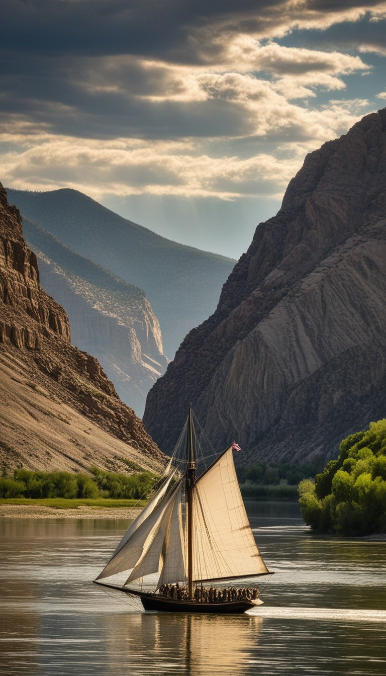
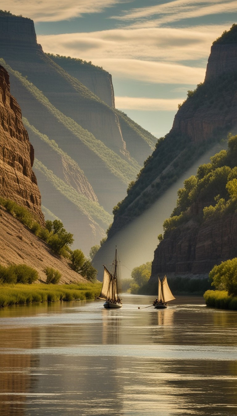
Into the Unknown
On May 14, 1804, the Corps set out up the Missouri River aboard a 55-foot keelboat and two smaller pirogues. The Missouri proved a merciless opponent—its current was fierce, its sandbars treacherous, and the summer heat relentless. The men poled, rowed, and hauled their boats by rope against the current for hundreds of miles, covering perhaps fifteen miles on a good day. Every bend revealed landscapes no American cartographer had recorded: endless grasslands swarming with bison, elk, and unfamiliar creatures Lewis and Clark catalogued with meticulous care.
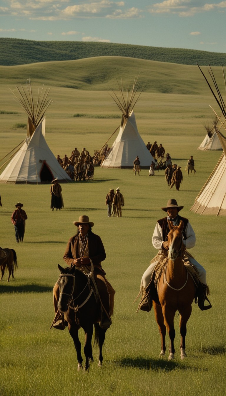
1804
The Dakotas
Nations of the Plains
The Corps encountered dozens of Native nations as they pushed into the Northern Plains, and diplomacy became as vital as any rifle. Their tense standoff with the Lakota Sioux nearly ended in violence before cooler heads prevailed. The Mandan and Hidatsa villages near present-day Bismarck, North Dakota proved more welcoming, and Lewis and Clark decided to winter there—constructing Fort Mandan in November 1804. The Mandan people shared critical geographical knowledge about the terrain ahead, knowledge that would prove indispensable when the expedition pushed westward in the spring.
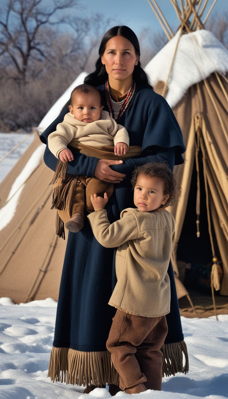
February 1805
Fort Mandan, North Dakota
Sacagawea Joins the Expedition
At Fort Mandan, Lewis and Clark hired French-Canadian fur trader Toussaint Charbonneau as an interpreter—and with him came his young Shoshone wife, Sacagawea. She had been kidnapped from her people in the Rocky Mountains as a child and sold into servitude, but she remembered her homeland. In February 1805, she gave birth to a son, Jean Baptiste, and within weeks was on the march with the expedition, carrying her infant on her back. Sacagawea's language skills, geographical memory, and calm presence—her appearance reassured Native peoples that the Corps came in peace—made her arguably the expedition's most valuable member.
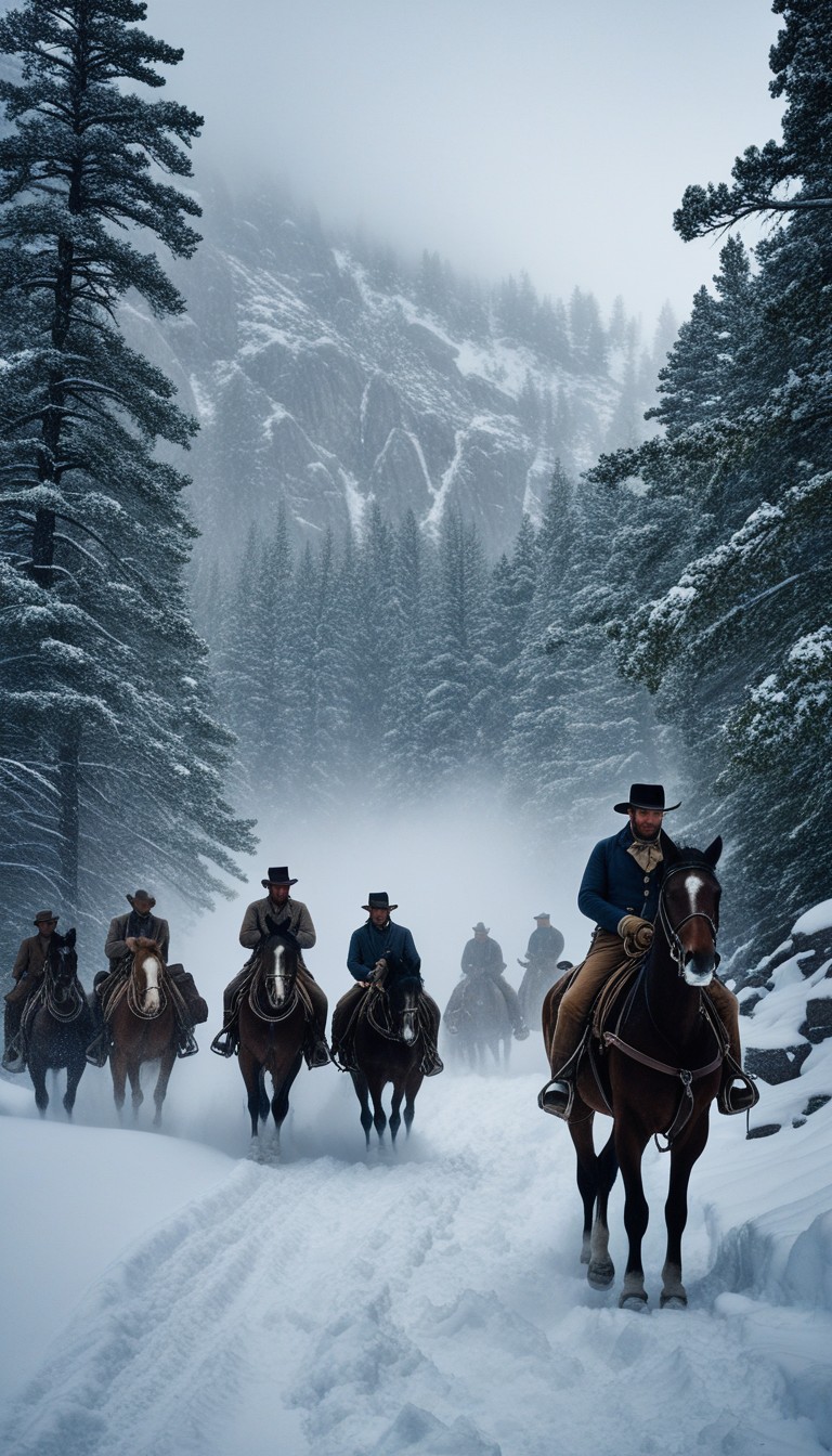
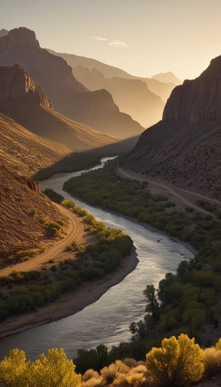
Summer–Fall 1805
Rocky Mountains
Over the Rockies
The Rocky Mountains shattered Jefferson's hope of a gentle portage to the Pacific. The ranges were vast, jagged, and merciless—nothing like the gentle Appalachians back East. Sacagawea led the Corps to her own Shoshone band, whose chief was her long-lost brother Cameahwait, and the emotional reunion secured horses for the mountain crossing. The trek over the Bitterroot Range in September 1805 pushed the expedition to its breaking point: the men ran out of food, killed and ate their horses, and nearly perished from cold and exhaustion. Only the Nez Perce people's generosity—feeding and sheltering the Corps until they could build new canoes—saved them from disaster.
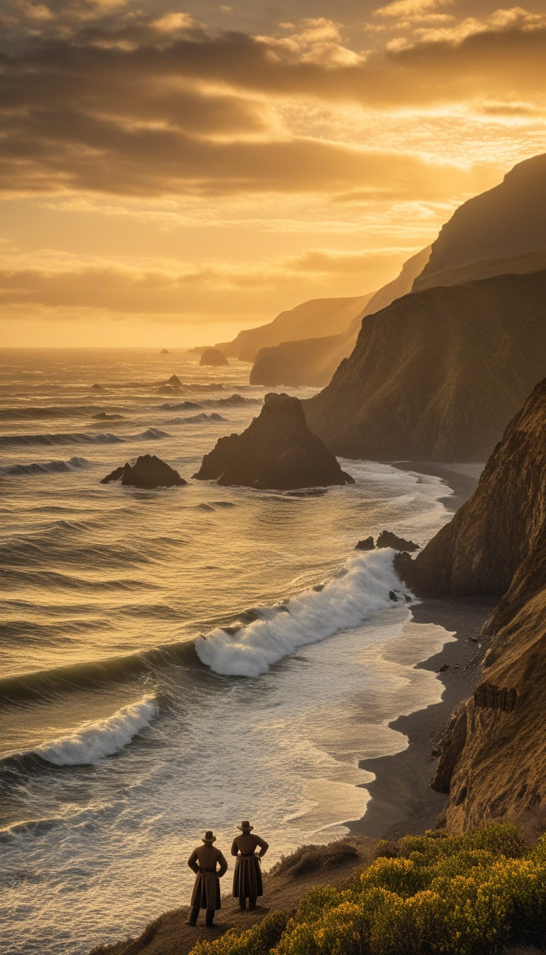
November 1805
Pacific Coast, Oregon
Ocean in View!
On November 7, 1805, Clark wrote in his journal: "Ocian in view! O! the joy." After eighteen months and over four thousand miles of travel, the Corps of Discovery had reached the Pacific Ocean. They built Fort Clatsop on the Oregon coast for the winter, living on elk meat and enduring almost constant rain. In a remarkable democratic gesture, Lewis and Clark held a vote on where to locate the fort—every member of the party cast a ballot, including York and Sacagawea, years before either African Americans or women could vote in the United States.
September 1806
St. Louis, Missouri
Heroes' Welcome
The Corps set out for home in March 1806, splitting into separate parties to explore more territory before reuniting on the Missouri. On September 23, 1806, they paddled into St. Louis—greeted by cannon fire and a city that had long assumed them dead. In their two years and four months of travel, they had covered over 8,000 miles, lost only one man (to appendicitis), and brought back journals describing 178 new plant species and 122 species of animals unknown to science. Jefferson received their reports with elation; the young republic now had a detailed map of its future.
They Opened the American West
The Lewis and Clark Expedition stands as one of history's great feats of exploration and endurance. In two years of travel through uncharted wilderness, the Corps of Discovery produced the first reliable maps of the American West, established relations with dozens of Native nations, and filled volumes with scientific observations that would occupy naturalists for decades. Their journey proved a transcontinental route was possible and fired the American imagination with visions of western lands. The continent would never look the same again—and the westward movement that followed would transform it forever.
Recommended Reading
As an Amazon Associate, we earn from qualifying purchases.


Swipe to navigate